
 October 20, 2023
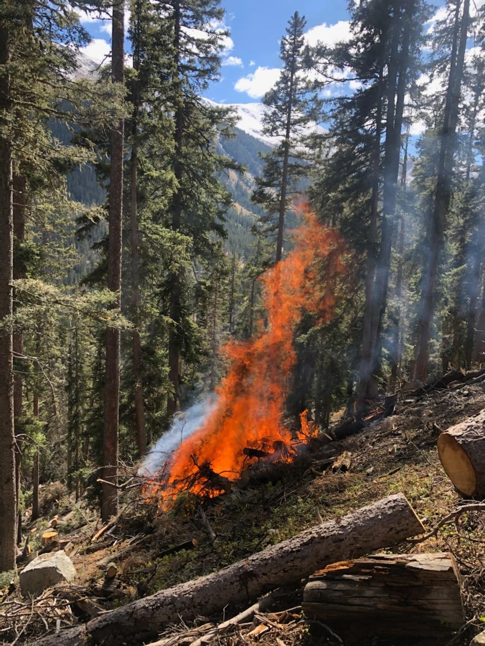
Fire managers are planning to move forward with pile burning throughout the Taos Ski Valley resort area as early as Tuesday, Oct. 24. The piles are located in the lower frontside, lower frontside steeps, Minnesota’s and parts of the backside. They represent 208 acres of fuels reduction, mostly blowdown from the December 2021 snow squall. Other piles were created from hazard tree mitigation and trail development.
Ignitions will be conducted by fire-qualified Taos Ski Valley, Inc., staff, and may include other local fire departments, working under Forest Service leadership. The project will take at least two days, possibly more.
Forest Service fire managers will consult with meteorologists before moving forward and postpone plans if weather and conditions change.
Piles currently visible along Highway 150 and the Wheeler Peak Trail are slated for burning this winter. They were created from 300 acres of thinning as part of the Highway 150 Corridor Wildland Urban Interface Project.
Both projects are in the Enchanted Circle Landscape and support efforts of the Wildfire Crisis Strategy.
The public can get prescribed fire updates on InciWeb, New Mexico Fire Information and Carson National Forest social media channels (Facebook, X).


Comments are closed.