
 November 8, 2024
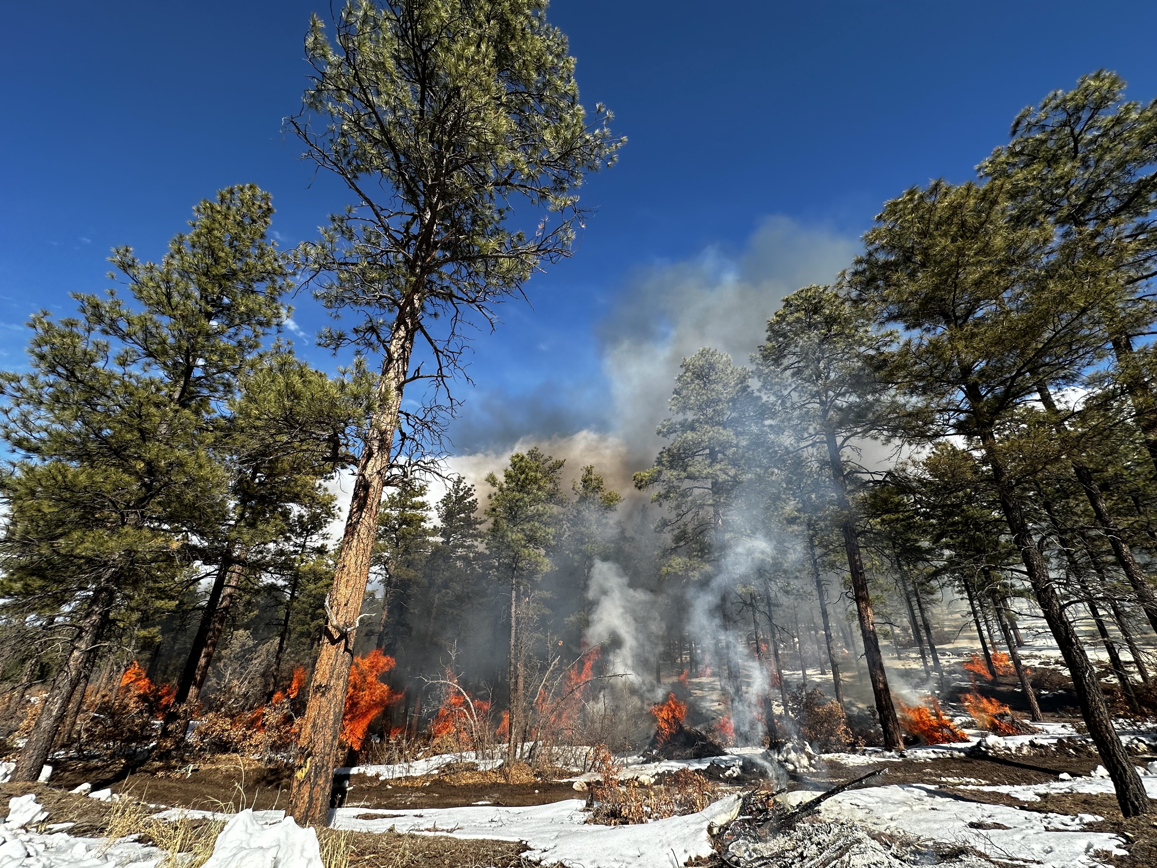
With recent snow, fire crews are planning to begin pile burning operations as early as the week of Nov. 11 in and around Highway 150 and in the Valle Vidal.
Highway 150
Pile burning may begin as early as Wednesday, Nov. 13. Piles from 300 acres of thinning are spread along eight miles of the highway and two miles of the Wheeler Peak Trail (#90).
Ignitions may last up to 10 days; however, they may not occur consecutively, potentially leaving periods of weeks between.
The work is part of the Highway 150 Corridor Wildland Urban Interface Project. Local organizations in 2014 came together to form the Taos Valley Watershed Coalition, which named the highway corridor as one of its priorities for protecting the forest and watershed that communities depend on.
Smoke is expected to drift westward out of the Hondo Canyon and may impact Arroyo Hondo, Arroyo Seco, El Prado, Lama, San Cristobal, Taos Ski Valley and Valdez. Residents and visitors can prepare with tips on the Carson National Forest smoke readiness webpage at fs.usda.gov/goto/CarsonRxSmoke.
Once ignitions begin, updates will be ongoing via email, InciWeb, NMFireInfo and social media (Facebook, X).
Valle Vidal
Crews are looking to begin the Comanche and Bobcat Ranch piles on the south end of the valley as early as Monday, Nov. 11. The project is on the forest boundary shared by the Pueblo of Sandia’s Bobcat Ranch, which is off Highway 38 and east of Red River, N.M.
Both the Carson National Forest and Pueblo of Sandia are working to reduce fuels on each side of the boundary. The piles on the Carson National Forest represent 36 acres of thinning and will provide a buffer for future understory burning in the area.
Smoke may be seen from Highway 38, but impacts are expected to be minimal, if any. This will be the only news release prior to ignitions. Updates will be posted to InciWeb.
(Photo: Piles burn near Las Trampas, N.M., in Jan. 2024)


Comments are closed.