
 June 17, 2025
Tuesday June 17, 2025
Reported date: June 11, 2025
Containment: 15%
Cause: Lightning
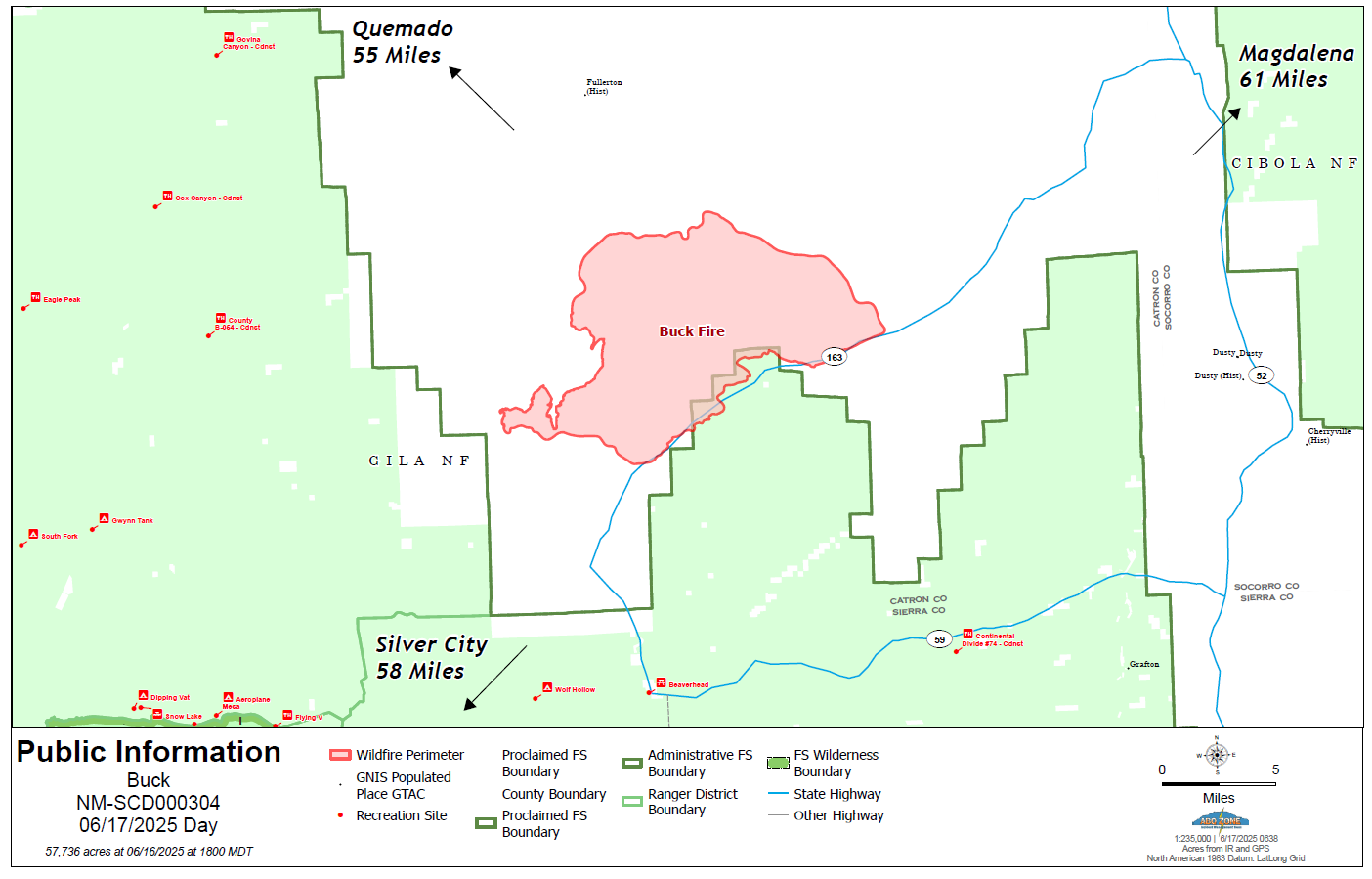
Size: 57,736
Personnel: 269
Fuels: Grass, timber
Strategy: Full Suppression
Fire behavior: Flanking, creeping, isolated torching
Operations: Yesterday, crews worked late into the evening along the Shaw Canyon access road on the northeast corner of the fire to limit eastern spread. Night resources remained on the incident to monitor for hotspots and potential growth along existing containment lines. Fire personnel also continued scouting for potential control features in the north and northwest areas, while additional crews were mobilized in support of future operations. Today, firefighters are focusing on line preparation ahead of expected fire weather and working to strengthen and secure existing control lines to help limit further spread. An increase in acreage was reported due to more accurate mapping yesterday, and fire managers were confidently able to add some containment to parts of the fire.
A message from the Incident Commander, Lino Baca: “We’d like to thank the community for your continued support. The team is working diligently to limit fire growth while minimizing impacts to grazing areas by keeping the fire footprint as small as possible. With fuels advisories in effect and limited resources available in the event of an emergency, firefighter and public safety remains our highest priority.”
Weather: Hot and dry conditions will persist for the next several days with poor humidity recoveries. Gusty and erratic outflow winds, in addition to any lightning, will be a concern. A Red Flag Warning is in effect today from noon-9pm.
Location: Pelona Mountain, West of Winston, Southwest of Magdalena and Datil, and Southeast of Aragon.
Safety: The health and safety of firefighters and the public are always the top priority. Members of the public should avoid the Buck Fire area. Unmanned aircraft such as drones pose a serious risk to firefighting and can cause air operations to cease. The public is reminded that “If you fly, we can’t!”.
Closures: Public should avoid driving on NM 163 within the fire area. The Continental Divide Trail (CDT) has issued a soft closure to discourage any CDT hikers from hiking through the fire area due to public safety and accountability.
Smoke: May be visible from Highway 12 southeast of the community of Aragon, NM and southwest of Highway 60. Smoke-sensitive individuals and people with respiratory problems or heart disease are encouraged to take precautionary measures. Information on air quality and protecting your health can be found online at the New Mexico Department of Health (NMDOH) Environmental Public Health Tracking (EPHT) website nmtracking.org


Comments are closed.