
 December 17, 2025
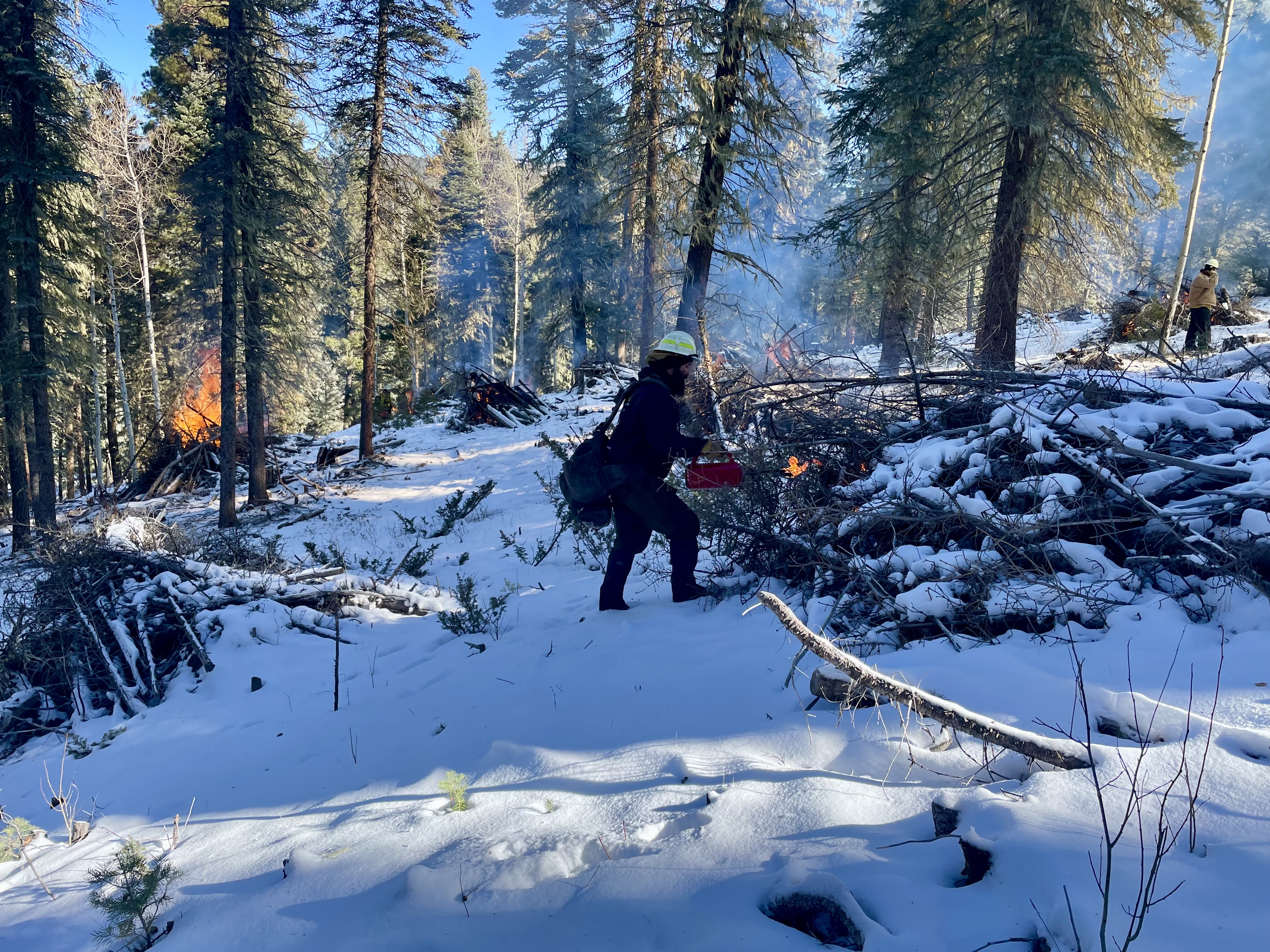
Hazardous fuels reduction work continues through the winter
SANTA FE, N.M., Dec. 16, 2025— Recent winter weather created favorable conditions to implement pile burns across the forest. Santa Fe National Forest fire managers will continue hazardous fuels reduction work throughout the winter as weather conditions allow, pending all required approvals. Pile burning is meant to treat slash, like branches, piled by thinning crews with the aim of reducing flammable fuels. The decision to proceed with each pile burn will depend on multiple factors, including snowpack, air quality, ventilation, forecast weather and wind, and resource availability. We use prescribed fire to help reduce overgrown vegetation and protect local communities, infrastructure, and natural resources from wildfires.
Updates for the following prescribed fire projects:
Jemez Ranger District
- Thompson Ridge Burn Pit – Fire crews completed the 0.5-acre project located near the community of Thompson Ridge along Forest Road 106JA. Operations burned slash generated by the community during defensible space cleanup.
Cuba Ranger District
- American Park Hand Piles – Fire crews completed the 28-acre project located near the junction of Forest Road 103 and New Mexico State Road 126. The unit received two inches of snow after igniting the piles. The Cuba Ranger District is checking the piles regularly according to the burn plan.
- Rock Creek Landing Piles – Fire managers are waiting for more snow coverage to implement this project.
Española Ranger District
- Tesuque Piles – Fire crews completed 50 acres of the 485-acre project located north of Santa Fe, N.M near Hyde Park Road and Forest Road 102. Project work is visible from Ski Santa Fe. The Española Ranger District is checking the piles regularly according to the burn plan. The project will continue when the area receives more snow.
Once prescribed fire projects are complete, resources will shift towards patrolling and monitoring burn units. Fire crews will utilize infrared detection devices, such as handheld thermal cameras and Uncrewed Aerial Systems (fixed-wing or drones), to assist in determining when to call the pile burns out.
Stay informed about the scheduled prescribed fires through the forest website, social media channels, and InciWeb, the interagency incident information system. We will notify county emergency management officials when burning begins.
About the Forest Service: The USDA Forest Service has for more than 100 years brought people and communities together to answer the call of conservation. Grounded in world-class science and technology– and rooted in communities–the Forest Service connects people to nature and to each other. The Forest Service cares for shared natural resources in ways that promote lasting economic, ecological, and social vitality. The agency manages 193 million acres of public land, provides assistance to state and private landowners, maintains the largest wildland fire and forestry research organizations in the world. The Forest Service also has either a direct or indirect role in stewardship of about 900 million forested acres within the U.S., of which over 130 million acres are urban forests where most Americans live.
###
USDA is an equal opportunity provider, employer and lender


Comments are closed.