
 May 4, 2023
The Park fire continues to burn south of Hondo, in Lincoln County, and is at zero percent containment with an acreage of 3000. It is burning through grass and pinyon/juniper fuels.
State, local and tribal agencies responded after the fire’s discovery Wednesday, May 3 at 11 a.m. Arroyos presented topographical issues with containment, but the relative humidity increase in the evening provided a boon to firefighters.
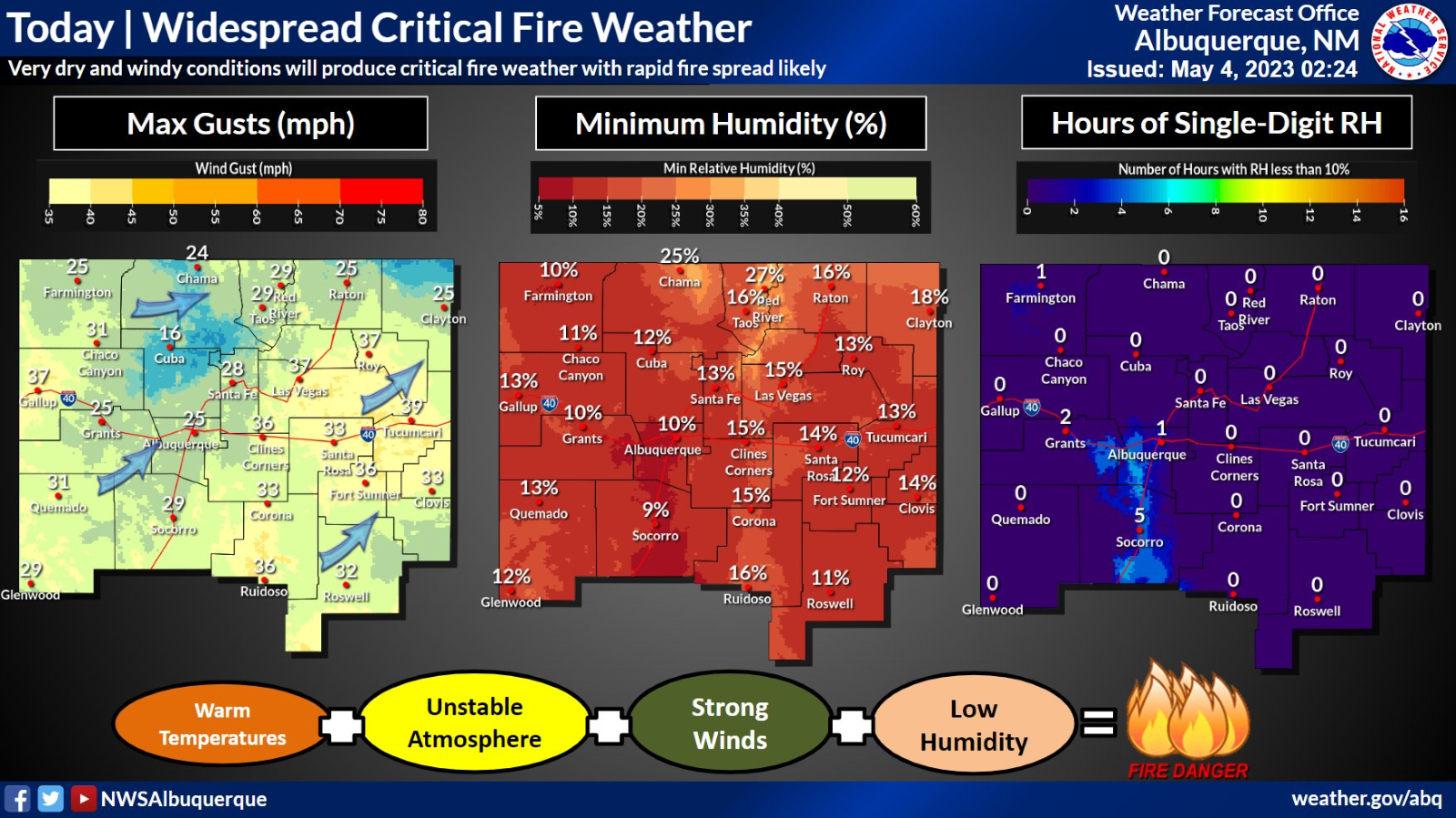
Today, crews continue to work on containment edges. Burnouts along the Mescalero fence line have kept the fire from progressing onto reservation land. An air tanker has been able to effectively check the spread with retardant once fire activity picked up on the southeast side. Winds are gusting from the southwest at 23 mph, with a predicted rise to 30 mph later in the day. No structures have been lost and none are currently threatened.
Update 2 p.m., 5/4/23: Winds have picked up to the expected speeds of 30 mph, with gusts ranging up to 35 mph causing the fire to spread in a northeast direction. Additional slurry has been ordered for air attack. The relative humidity has dropped to 19%, and the temperature has risen slightly to 66 degrees.
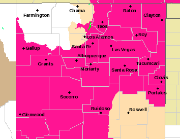
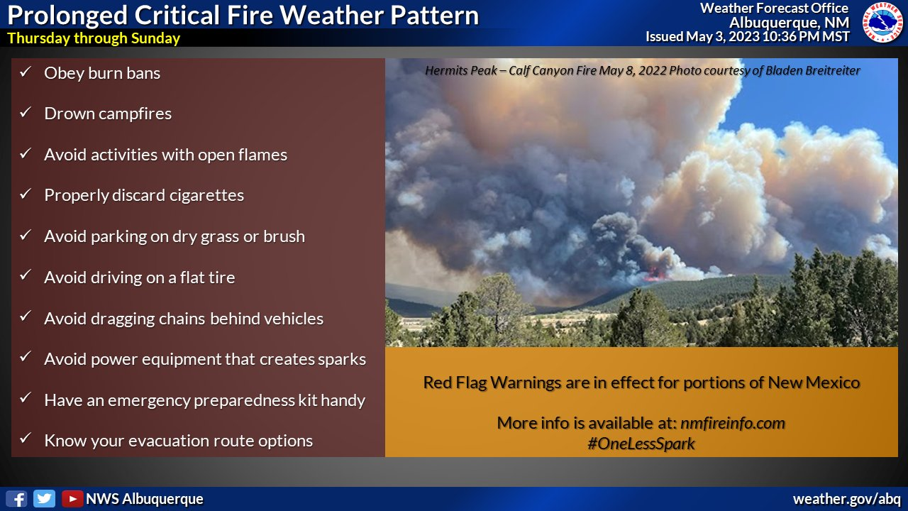
A Red Flag Warning has been issued for much of the state until May 5 at 8 p.m.:
* Affected Area, Fire Weather Zone 113.
* Wind, Southwest winds at 20 to 25 MPH with Gusts of 35 to 40 MPH.
* Humidity, 8 to 12 Percent Below 7500 Feet. 12 to 17 Percent
Above 7500 Feet.
* Impacts, Any Fires That Develop will Likely Spread Rapidly.
Outdoor Burning is Not Recommended. Highest Fire Danger Is
Expected Below 7500 Feet Where Min Rhs are Lowest.
A Red Flag Warning Means That Critical Fire Weather Conditions
are Either Occurring Now or will Shortly. A Combination Of
Strong winds, Low Relative Humidity, and Warm Temperatures Can
Contribute to Extreme Fire Behavior.
Start Date & Time: 05/03/2023 @ 1100
Start Location: South of Hondo, East of Mescalero Reservation boundary.
Latitude: 33.29695
Longitude: -105.3009
Cause of Fire: Lightning
Area Vegetation: grass, pinyon/juniper
Estimated Acres Burned: 3000
Ownership(s): Private/ near Mescalero boundary
Structures Threatened: No
Structures Burned: No
Evacuations: No
—
George Ducker
Communications Coordinator
New Mexico State Forestry Division – EMNRD


Comments are closed.